I finally hiked the Teton Crest Trail! I’ve been planning
and hoping to hike this trail all summer and finally all the forces of the
universe aligned for Jeremy and I to do it. We started our hike on Sunday at
around 10am at the Granite Canyon Trailhead in Grand Teton National Park.

The first day we had a very ambitious hike ahead of us, 18.6 miles. The first several miles of the hike was a gradual uphill through granite canyon. The colors in the area were beautiful as everything is turning for fall in the lower elevation areas. There were lots of thimbleberries and raspberries still along the trail.
Evidence of the changing season:

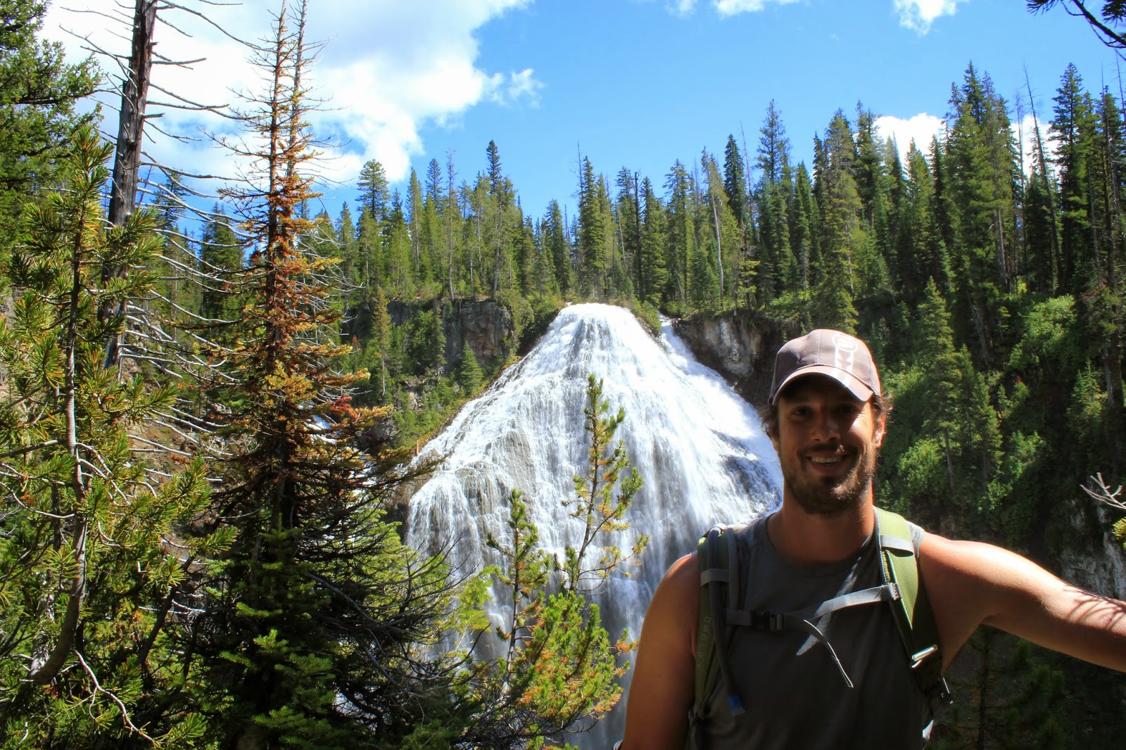
Granite Canyon:

As we hiked further up the canyon the trail became steeper and steeper. After several hours we came to Marion Lake. The lake was crystal clear and was surrounded on one side by cliffs and the other sides open alpine meadows. We filtered some water at the lake and continued on our hike.
Marion Lake:


Shortly after Marion Lake we ascended up to Fox Creek Pass and had our first views of the Teton Range. The mountain views were absolutely stunning especially with all the fall colors. Even though some of the flowers from summer were dying, it was still beautiful seeing the changing of the seasons.
Blue skies:

Approaching the Tetons:


Fox Creek Pass:


As we walked along the pass and approached Death Canyon Shelf we had amazing views for several hours. The trail along Death Canyon Shelf is exactly as the name suggests; a trail on a shelf between cliffs above and cliffs below. Once we got to the end of the shelf, we decided to set up camp for the night as we had already been hiking for 8 hours and were beat. Within 10 minutes of setting up our tent a huge thunderstorm rolled in and poured rain. Luckily it didn’t last that long and we didn’t get struck by lightning!
Death Canyon Shelf:


The next morning we woke up to an amazing view of the Tetons
right outside our tent. After eating breakfast and packing up we set out for
another long day of hiking.
View from our tent:

The first part of the day brought us through the Alaska Basin area which is in the Jedediah Smith Wilderness. This “basin” sits right between Death Canyon Shelf and Hurricane Pass. After hiking down into the basin we had to ascend back up Hurricane Pass. About ½ way up we passed Sunset lake which was beautiful. The water was again crystal clear and the surrounding wildflowers made it quite the scenic area.
Sunset Lake:

Sunset Lake below:

After a hard hike uphill, we finally made it to the top of Hurricane Pass. The views on the top were the best views of the trip. The Grand, Middle, and South Teton were literally right in front of us! Down below we could see the entire South Fork of Cascade Canyon with multiple lakes, streams, and snow melt areas. Off to the north we could see Mt. Moran and the rest of the Teton Range.


Grand, Middle, and South Teton:

After taking in the breathtaking views, we started our descent into the South Fork of Cascade Canyon.
Descending into the South Fork:

Snow melt:


We stopped for lunch once the trail leveled out a bit and then hiked for what seemed like several hours downhill. We ran into two people on the trail who had run into a black bear, but luckily we did not run into him.

The trail followed a stream the whole way down until we reached the junction with the North Fork of Cascade Canyon. Here we started ascending again up the North Fork. We planned to camp in the North Fork camping zone, but once we reached it we decided to try to hike as far into the camping zone as we could so we wouldn’t have to hike as much the next day. We passed several areas where trees were completely destroyed by avalanches. Their trunks were literally just snapped in half; it was pretty crazy to see how much force an avalanche can have. At this point in the day, I was exhausted and when we got to the last site in the camping zone and it was full I wanted to die! We had to then retrace our steps back to find a spot. We finally found one though and quickly set up our tent, had some delicious ramen noodles and went immediately to bed!
Previous Avalanche:

The next morning we got up early and had an awesome view
again of the Tetons. The weather was looking good again, so we ate our oatmeal
and set out for our last day on the trip. We had about 12 miles to hike this
day. The first part of the hike was slightly uphill for a mile or two to Lake
Solitude. Right before the lake we saw a blondish black bear, who was quite
startled by us and immediately ran off.
Climbing up the North Fork:


Lake Solitude:

After passing Lake Solitude, we started our ascent up to the Paintbrush Divide. This uphill part of the hike took us about 2 hours to get to the top of the pass. The views were breathtaking though. You could see the Grand Teton, the entire North and South Fork of Cascade Canyons, and all the way over to Hurricane Pass, where we had been the day before.

Lake Solitude again with another snow melt pond:

At the top of Paintbrush Divide, there was quite a bit of snow, and the grass was a bright orange color. From the top of this pass, we were now looking down into Paintbrush Canyon.
Paintbrush Divide:


The trail down into the Canyon was quite steep and a bit sketchy at places.

We passed a few more beautiful lakes, including Holly Lake about half way down the canyon. The banks of the north side of Holly Lake abutted with the steep slopes of Mt. Woodring.
Holly Lake with Mt. Woodring:

After Holly Lake we had about 6 more miles of hiking to the trailhead. There were tons of blueberries along the trail and Jeremy couldn’t stop eating them! We got to the trailhead around 4pm and then had to hitchhike all the way to Jackson and around up to Granite Canyon because of a road closure. We ended our trip with a night of full of pizza and nachos before driving back home!
This was one of the most scenic backpacking trips I have
been on this summer, and probably our last for the season. I hope I get the
opportunity to come back out next year for some more amazing trips! It has been
an amazing summer, and I hope my blog has captured at least some of the beauty
of the Yellowstone area for those reading. Stay tuned for my next adventure
blog: Backpacking Europe!