This past week I had more visitors! Mom & DaddyO! They
stayed for a full 10 days so we were able to see and do quite a lot. The first
day they were here it was a bit overcast, so we decided to check out Norris
Geyser Basin. The steam from the thermals from the cooler weather was much more
prominent than usual. The colors in the thermal rivers and pools was awesome.
Need Water!

Green Thermal River:


Monument Geyser:

Day 2 it was supposed to rain, so we decided to make the
drive out to Cody to go food shopping. We stopped at the Lake Butte overlook
for a view of Yellowstone Lake.
Lake Butte Overlook:


The drive out to Cody was beautiful as usual, and we bought a TON of food! Later that night, we decided to go for a walk out to Storm Point. It was a bit overcast and windy, but the beach was really beautiful.
Storm Point:


We walked in the sand for a while checking out all of the thermal rocks and thermal sand in the area. On the way out we were able to spot some deer drinking out of Indian Pond.

Watching the Deer:

Day 3 we headed up to the Northeast section of the park. We
dropped Jeremy off at Slough Creek so he could do some fly fishing and then we
headed up to the petrified trees trail. The trail was really steep, but the
views were phenomenal up at the top. The petrified trees up the top were an
added bonus to the amazing views. The hike was pretty tough, but we all made it
up and down in one piece! We saw some pronghorn, bison, and grouse along the
trail, and I even found a few berries along the way.
We found the trees!


Almost to the top!

Made it!

After this hike we headed over to Slough Creek to meet up with Jeremy. The first 2 miles of the hike was mostly in a wooded area, but then opened up to the large valley that slough creek runs through. We decided to walk along the creek to see if we could find Jeremy, which meant fording the river a few times. After fording the river 4-5 times, we cut back across the meadow and made a loop back to the trail where we finally met Jeremy.
Fording their first river!

Walking the stream bed:

There they are fording again!

Beautiful Wildflowers:

Slough Creek Meadows:

Days 4 we headed up to the Mammoth area. We hiked around the
Mammoth Terraces and then my Dad and I hiked through the Hoodoos and back down
to the terraces. We saw a huge herd of elk along the trail. At the end of that
hike we met back up with my mom and then we picked Jeremy up from his hike and
then we headed down to the boiling river for a swim in the thermal area that
runs into the river. The river was a really warm and relaxing way to end the
day.

Hoodoos, Bunsen Peak in backdrop:

Days 5 & 6 I had to work, but my mom and dad headed over
to the Grand Canyon area and then the Old Faithful area for some hiking. Maybe
they will start a blog so you can see some pics of that!
Day 7 We drove over to the Midway Geyser Basin to get a view
of the Grand Prismatic Spring. Unfortunately the weather was really iffy. We
hiked the ¼ mile up to the overlook and were able to get an okay view of the
spring, but nothing like the views when the sun was shining bright when Johnny
was here. As soon as we got halfway back down the overlook it started to pour.
It poured all the way back to the car and we got pretty soaked! We thought the
rain might pass, but it just kept going and going. We made a pitstop at the Old
Faithful Inn for a drink and appetizer hoping it would pass, but it didn’t, so
we just headed back home. After a while the rain looked like it was finally
clearing so my Dad, Jeremy, and I went up and hiked Elephant Back. We were practically
the only ones on the trail and the woods were so green and colorful. We made it
to the bottom just as another big rain storm was heading in!
Forest up to Elephant Back:

Day 8 was our final day! We decided to spend the day down in
the Tetons. We first stopped at Colter Bay and did a short hike along Jackson
Lake and around some smaller ponds behind the Lake.
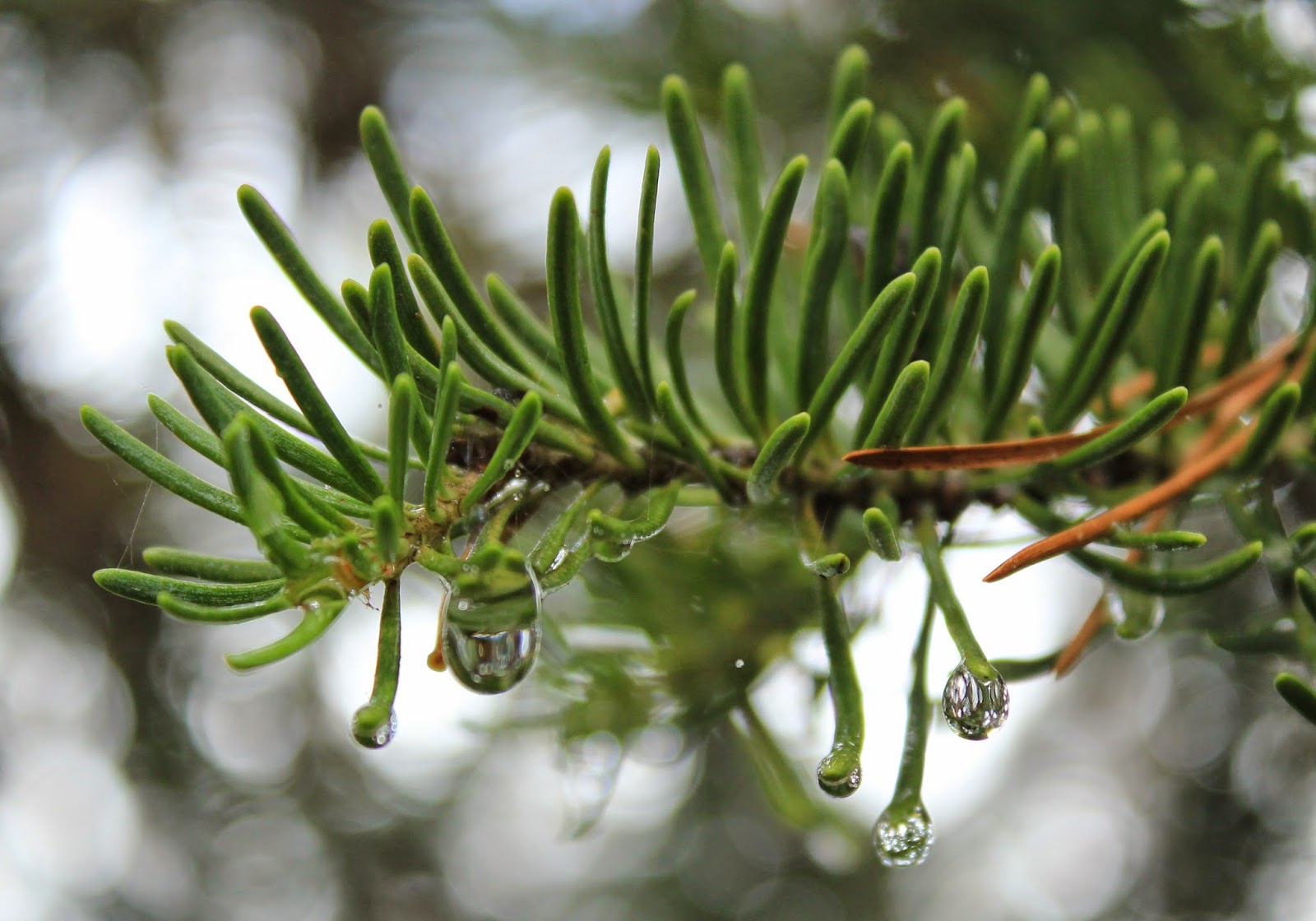
Left over raindrops from the day before:
Mom and her "Yellowstone" stick!

More left over rain with Colter Bay in backdrop:

Time for a snack!

On Heron Pond we saw geese, a beaver dam, and a heron. We also saw a pelican out on Jackson Lake which was really cool looking with its massive beak. We hiked along Swan lake on the way back and then had a little picnic back by the parking lot area.
Heron Pond Geese:

Beaver Dam:

Scoping out the Pelican:

More Wildflowers:

Swan Lake:

After that hike we headed down to the Jenny Lake area. We made a stop along the way at the Jackson Lake Dam and then we drove up to Signal Mountain Summit. The views at the top of Signal Mountain were awesome. Even though the tops of the Tetons were covered in clouds, it was still an amazing view.

Signal Mountain Summit:

Up in the clouds:

After driving back down we started our hike at Jenny Lake out to Hidden Falls. The hike was about 3 miles along the shore of Jenny Lake and then went up to a pretty large waterfall. We decided to the take the boat shuttle back across the lake so we could get back to Jackson where we were spending the night.


Hidden Falls:


The next morning we all woke up early, mom and dad to catch their flight, and me and Jeremy to set out on our hike to Union Falls!