Saturday, August 23, 2014

Sky Rim Backpacking trip

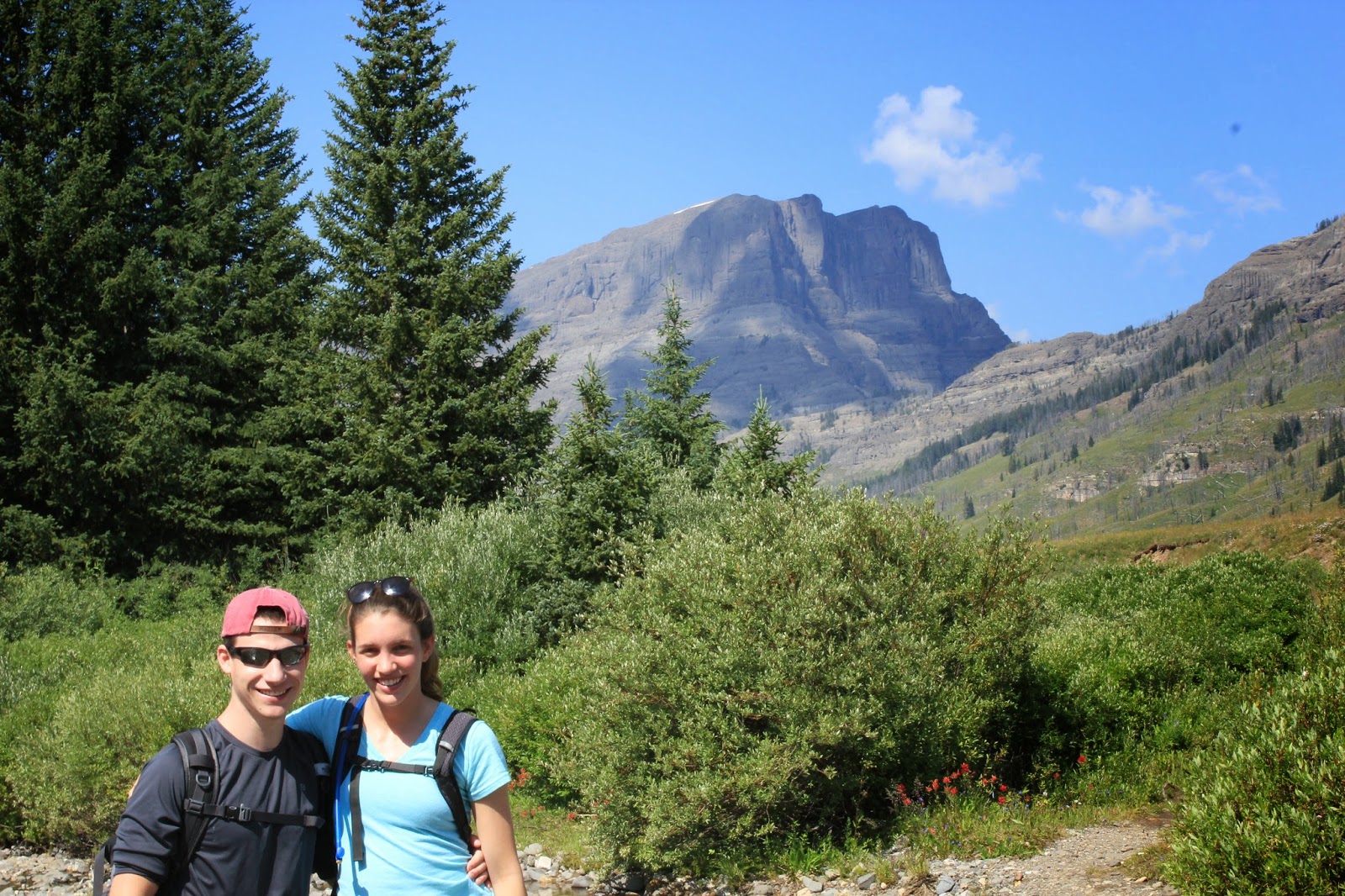
This past week Jeremy and I went on a 3 day backpacking trip through the northwest portion of the park. We started out at the Daley Creek Trailhead and hiked through and open meadow for a few miles before ascending up to the junction with the sky rim trail. 


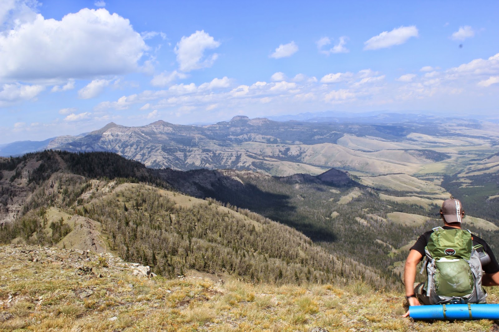
After about 6 miles we were finally up on the sky rim trail. This section of the trail is about 8 miles and is high up on the ridge line of the Gallatin Mountain range in the Northwest portion of the park. The trail took us up and down several mountain summits and was pretty difficult.

Sheep mountain in the distance:

Trail along the ridge line:


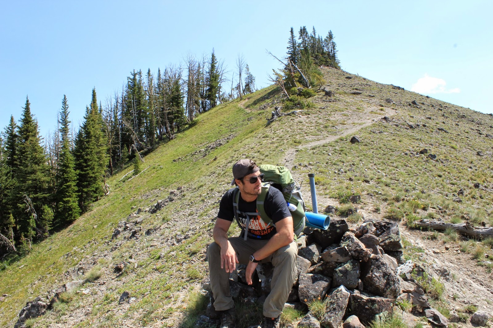
Jeremy taking a break!


A large valley below us:


Another break!

HUGE peak in the backdrop! (need to find out what it is!)

Lone man on the mountain!

After about 6 miles we finally came to Bighorn Peak which is the highest peak along the ridge line. There were steep cliffs on both sides of the mountain and there was no trail up to the summit; just a STEEP, STEEP climb. At this point we had both run out of water, so the climb seemed even tougher than it already was. We tried to just concentrate on the climb and the lake 3 miles away where we would finally be able to get water.

Bighorn Cliffs Ahead:

VERY narrow trail up the top!

Made it to the summit!

After finally making it to the summit of Bighorn Peak we hiked the final 3 miles to Shelf Lake, where we were finally able to get some water! We cooked our dinner by the lake and then hiked about 10 minutes back to our campsite in the National Forest. We were exhausted from our hike and immediately passed out.
The next morning we woke up pretty early and set out around 8am. We had about 12 miles to hike this 2nd day. We first hiked past shelf lake again to fill up on more water.

Shelf Lake:


There were tons of cool mushrooms along the trail. Nice to take pictures of, probably not so nice to eat!


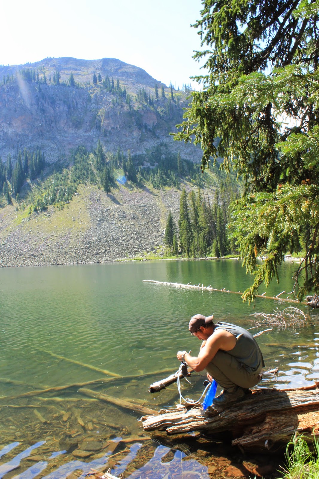
About 5 miles in we came to Crescent Lake, which was beautiful. Crescent Lake is a snowmelt lake and is surrounded by mountain cliffs. We filtered more water here since running out of water the day before was not fun...
Jeremy pumping water:
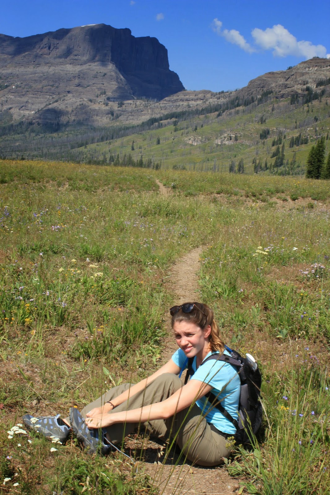
Me taking a rest:

After Crescent Lake, we hiked high up on another ridge line and through some open meadows for a while. It looked like it was going to storm, but actually didn't start raining until the very end of the day.

Some cool rocks along the trail:

Nice reflection in a small pond:

A view of Electric Peak!!

After about 9 miles we finally made it to High Lake. It really looked like it was going to storm so we decided to put on our rain gear.  Crescent Lake was a lot prettier than High Lake, but it was still pretty nice.


We made it to our campsite around 530pm, which was nice, since the previous night we didn't make it until about 8pm. We made some dinner, set up camp, and explored the nearby creek a bit before hitting the sac. The next day we decided to take the short hike out which was only about 6.5 miles. The hike was mostly through burned forest, but was still very nice. Once we got to the road we hitched back to our car and then headed back home!

Friday, August 22, 2014

Swervin Round Yellowstone with Johnny & Kayla!

Last week I had a visit from Johnny and Kayla! Jeremy arrived with them and is planning on staying the rest of the season out here. The first day they were here we headed over to Avalanche Peak which is on the east entrance road of the park. The summit is 10, 568 feet. The hike was about 5 miles total, but was a pretty steep climb up to the summit. We were all feeling the altitude a bit on the way up. There were a lot of pretty wildflowers still along the trail and it was a bright and sunny day. 

Monkey Tongue Flower:

Lupine with view of the bowl:

Monk's Hood:

Almost to the top:

Made it to the Summit!

Once at the summit, the views were a bit skewed by smoke from some fires further out west, but they were still amazing. You could see the entire Yellowstone Lake, as well as many of the surrounding mountains (hoyt, top notch, grizzly, silvertip, cody peak, etc). 


Silvertip & Cody Peak:


We hiked the entire ridge line and then descended down into the bowl and back across to the trail. 

Heading back down the ridge:

Jeremy with Hoyt in the background:

Later in the day we headed over to the Grand Canyon of Yellowstone and hiked the South Rim Trail for some amazing views of the upper and lower falls. 


Lower Falls:

Mt. Washburn in background:


Artist Point:

Day 2 we decided to head up to the northeast portion of the park to hike Pebble Creek. I had already done a portion of this trail earlier in the year, but hadn't hiked the trail all the way through. The trail started with a steep ascent with great views of the surrounding mountains. 


Again, the wildflowers were beautiful and it was another bright and sunny day. After our ascent we dropped down into the meadows and were surrounded by mountains once again. 


We had to cross a few small streams in the meadows and eventually ate lunch by one of them about half way through our hike. 


Shoe tie break:


Lunch Break:


The hike brought us into a forest for a few miles which were a bit boring, but then again opened up for some more mountain views. There were thimbleberries all along the end of the trail, but unfortunately were not ripe enough to eat. After 12.1 miles we were pretty tired and decided to get some dinner in Cook City and then we drove up the Beartooth Highway. The Beartooth highway is supposed to be one of the most scenic drives in the US and it definitely lived up to its reputation. The mountain views were absolutely stunning and we made it up there just in time to watch the sunset over Pilot Peak and the nearby mountains.  

Pilot Peak:


Pilot Peak:


We then had to drive home in the dark through the Lamar Valley and ran into a few bison herds on the road. At one point we had about 10 bison running straight towards our car. It looked like they were going to run right into the car! At the last second, with inches to spare, they turned off to the right and just missed the car! It was scary! 

Day 3 we headed over to the Old Faithful area to check out some of the thermal features in the park. On the drive over we stopped at West Thumb to check out the thermal features by the lake. 


We then checked out Old Faithful and the upper geyser basin. Next, we headed over to the Grand Prismatic Overlook. The sun was shining bright, so the colors in the spring were the most vibrant I have seen yet. 


After taking in the views on the overlook, we headed to the tomato soup area to check out some backcountry thermal features. 


Day 4 we made it up to the Mammoth area to check out the terraces. We hiked all around the terraces and then went into Gardiner, MT for some lunch. 


Afterwards we took a dip in the Boiling River, but unfortunately it started to storm so we weren't able to stay long. Once we got back home we had a bonfire and roasted some marshmallows. All in all, it was a great trip!